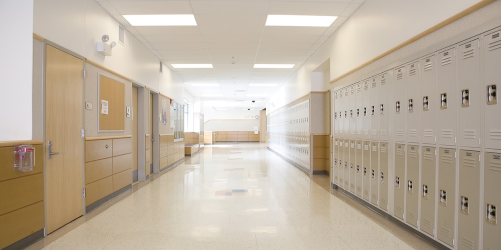
What began in 2008 as a Geographic Information System (GIS)-based effort in Frisco, Texas, to provide first responders with school floor plans has evolved into a citywide emergency response platform that now incorporates indoor mapping and digital twin technologies.
Frisco’s technologies are embodied in a program called SAFER, or Situational Awareness for Emergency Response, which gives first responders “immediate access to building information while responding to emergencies and includes real-time video feeds in school and local facilities,” according to the city. The program was first created for local schools and provides first responders with floor plans, interior and exterior photos, aerial maps, lists of on-site hazardous chemicals and responsible party contact information, the city’s website states. It runs on Redlands, Calif.-based Esri’s ArcGIS mapping and analytics software to manage operational risk in more than 200 facilities.
According to Facilities Dive, that same backbone has been updated and is now leveraged for broader building management and operational control. Frisco’s internal IT team worked on updating the platform, upgrading and installing new hardware, developing new software and integrations and instating a training program and documentation process. SAFER now encompasses more than 30 different systems, including indoor maps, cameras, traffic data and fire safety information in one geospatial environment.
Dynamic technology improvements
A digital twin is a live replica of a physical asset, process or facility. It lets teams simulate changes, predict failures and optimize performance without touching the physical system, reported MarketScale. One of the potential shortcomings of the technology is keeping specific information updated in real-time. Digital twins can help address this challenge by integrating information from live data sources and supporting more frequent updates.
Digital twin, mapping and location services have improved dramatically¾offering more precise information and command and control of buildings and assets with real-world models rather than static 3D imaging. These technologies bring together information from sensors and connected sources and incorporate changes in the environment as they occur for proactive building management and emergency response.
Next-gen benefits: Building oversight
Frisco extends the platform beyond emergency management to maintenance and asset tracking.
“Facilities staff now use the system to map automated external defibrillator locations, enabling crews to reach each device directly during refresh cycles,” according to media and intelligence platform Propmodo. “The city also applies GIS technology to stormwater management, sewer networks, tree inventories and public work orders tied to specific assets and can track electrical panels, water shut-offs and alarm systems.”
Digital twins are also being deployed for disaster response and crisis modeling. In Orlando, Fla., the city integrates public safety information into its Orlando Regional Digital Twin program to predict the potential outcomes of hurricanes and plan evacuations. In Tokyo, digital twins gather live data from building sensors integrated with seismic network information for proactive notification. In New York City, the municipal fire department is deploying digital twin technology to assess traffic and emergency response delays while evaluating routing data for travel guidance during medical and fire rescue.
The Digital Twin Consortium stated that one of the fastest-growing applications of the technology is to provide emergency responders a live operational representation. These applications, stated the organization, combine GIS maps, building information models, camera feeds, loT sensors and drone imagery, “creating a continuously updated operational model that incident commanders can use during emergencies.”